
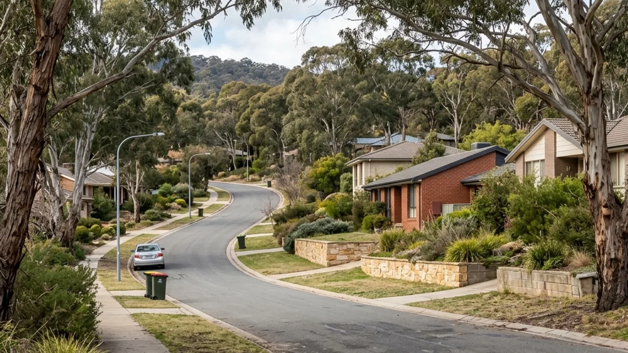
What the ground in Red Hill tends to do
Red Hill sits on the flank of the reserve that gives it its name, and the ground keeps rising past the back fence on a good number of blocks. That matters because the wall you can see is often holding only part of the level change. The land continuing uphill beyond the immediate terrace is still bearing on the same slope, and a design that stops at the visible face has answered a smaller question than the site is asking.
This is old, generously sized inner-south stock, and the gardens have had decades to grow over whatever was originally built. Established planting hides level changes remarkably well. Take a measured cross-section from the crest to the toe rather than trusting what the eye reads through a mature bed, and expect to find more retained height than the exposed face suggested.
Access from Mugga Way, La Perouse Street and Discovery Street is usually generous at the frontage and much tighter behind. Big blocks tend to mean long carries, and formal front gardens that nobody wants a machine crossing. Photograph the whole approach and identify where materials could be staged without occupying the driveway for the duration of the job.
Access, water and boundaries here
Water on a ridge-facing block arrives from above rather than accumulating locally. Follow the fall from the higher ground down to the wall and look for where it concentrates, which on a slope is rarely evenly spread along the length. A drainage outlet also has to discharge somewhere lawful and downhill, and on these properties the natural low point can be well away from the wall itself.
Boundary conditions are the item to settle early here. Large old blocks frequently have walls, hedges and structures that were built to a fence line rather than a surveyed line, sometimes long ago. Where a proposal sits near a boundary, the surveyed position and the neighbouring ground level both feed the ACT development-approval test, so confirm them rather than inheriting the existing arrangement.
Around Red Hill's ridge edge, a wall may sit between formal gardens and the rising ground towards the nature reserve. Photograph the full approach from Mugga Way or the relevant side street, mature trunks and the next structure above the crest. Established planting can conceal level changes, so take a measured cross-section instead of relying on the visible wall face. On a ridge-facing block, include the ground that continues uphill beyond the immediate garden terrace.
Red Hill Nature Reserve, Red Hill Lookout, Federal Golf Club locate the wider area, and Deakin, Griffith, Narrabundah adjoin it. None of that substitutes for measurements taken on your own block.