
Fifteen suburb ledgers, one property-specific decision
Use local context to prepare better observations. Do not use a suburb name as a substitute for measured levels, ground evidence or current approval checks.
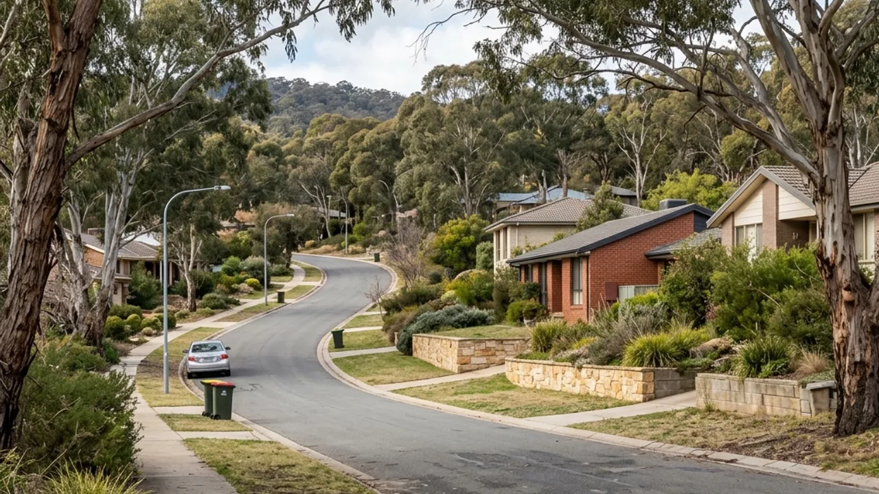
Retaining walls across Canberra
Choose a suburb for access, grade and drainage prompts grounded in its local setting.
What a suburb can tell you, and where it stops
A suburb is a reasonable proxy for a few things and a poor proxy for most. It gives you a fair indication of when the area was developed and therefore roughly how old the existing retaining is likely to be, what the surrounding landform is doing, and whether the lots are large with long carries or compact with tight side access. Those are genuinely useful starting points, and they are what these ledgers are for.
What a suburb cannot tell you is anything that decides the design. Retained height, whether the wall holds cut or fill, what is loading the ground above it, how deep the fill goes, where the surveyed boundary actually sits and where water can lawfully be discharged are all block-level facts. Two houses on the same street routinely present different problems, and adjoining lots in the newer estates can sit on completely different depths of engineered fill.
Ground conditions deserve particular caution. There is no Canberra-wide soil answer, and no suburb-wide one either. Where the ground matters to a design, it is established by investigation on the property rather than inferred from the postcode, and a proposal that states a ground assumption without testing it is carrying a risk that someone will eventually pay for.
Approval works the same way. Building approval and development approval are assessed on the measured proposal at its actual position, not on where the suburb is. Use the local notes to know what to look for and what to photograph, then let the measurements from your own block answer the questions that decide what gets built.
Site ledger
Retaining wall Canberra: six facts to record
Use these six observations to describe a retaining wall in Canberra clearly before a provider inspects the property.
- 01. Grade
Record the maximum retained height first, then the wider cut-and-fill relationship it sits inside. One number taken at the tallest point rarely describes a sloping block.
- 02. Loads
Photograph whatever sits above the retained soil: driveways, sheds, buildings, pools, fences, mature trees and any second wall further up the slope.
- 03. Water
Trace where water arrives and where it can lawfully leave. Downpipes, paved runoff, irrigation and the apparent low point matter as much as the structure.
- 04. Access
Measure the narrowest gate, the tightest turn, step heights, overhead clearance and the carry distance from wherever a vehicle can legally stop.
- 05. Boundaries
Confirm the surveyed line rather than the fence. Note neighbouring ground levels, shared structures and anything already built across the boundary.
- 06. Approval path
Treat building approval and development approval as two separate ACT questions. Clearing one exemption test does not clear the other.
Separate observations from assumptions
Measurements and clearly noted unknowns give a provider a reliable starting point. A wet patch is evidence; its source is still an open question. Movement can be visible while the buried post or footing behind it stays unknown until something is opened up.
Keep the two approval checks distinct
ACT building approval and development approval apply different tests. Record height, cut and fill, boundary position and nearby structures, then run each pathway on its own terms instead of assuming one result carries across to the other.
Ask for a traceable scope
A written scope should name the system, the design roles and the excavation, then carry through to spoil, drainage, outlet work, inspections and restoration. Every provisional item should state the condition that would change the method or the programme.
Talk to a specialist
Describe the retaining wall site, wherever it sits in Canberra
Share the details and we will help you take the next step with confidence.