
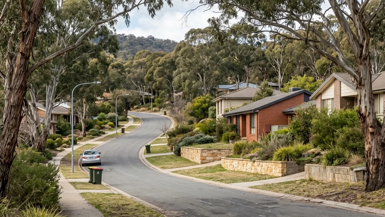
What the ground in Ainslie tends to do
Ainslie runs up to the base of Mount Ainslie, and the ground can change character within a single backyard. Rock close to the surface, mature root systems and older terracing can all turn up in the same excavation, which makes this one of the suburbs where assumptions about what is underground are least reliable.
Rock in particular changes the economics of the job. Excavation that was priced as digging becomes breaking, and post holes or footings that were straightforward become the longest part of the programme. Where rock is suspected, it is worth establishing before the method is fixed rather than discovering it as a variation.
This is inner-north stock on established streets, and access from Limestone Avenue, Majura Avenue and Wakefield Avenue is generally good at the front and constrained down the side. Record the narrowest passage and any overhead eave, because those two dimensions decide whether a machine reaches the wall or whether the work becomes manual.
Access, water and boundaries here
Water on the Mount Ainslie side arrives from ground that keeps rising past the property, so the catchment feeding a wall can be considerably larger than the block. The visible retained face may be short while the slope above continues for some distance, and drainage sized for the wall rather than for the catchment is a common shortfall here.
Mature trees are the other recurring factor. Root systems near an excavation line raise questions about both the tree and the wall, and roots that have grown into or under an existing structure may be part of why it has moved. Map the significant trunks and their distance from the wall before the excavation line is settled.
At the Mount Ainslie edge, rock, mature roots and older terraces can occur within one backyard. Ainslie access is often constrained by established homes and gardens, so record the narrowest passage and any overhead eaves. The exposed face may be short while the land continues to rise towards the reserve, making the broader slope essential context.
Mount Ainslie Nature Reserve, Ainslie Shops, Ainslie Football Club locate the wider area, and Hackett, Dickson, Braddon adjoin it. None of that substitutes for measurements taken on your own block.