
Measured facts first
Height, cut and fill, loads, drainage, boundaries and access come before material selection.
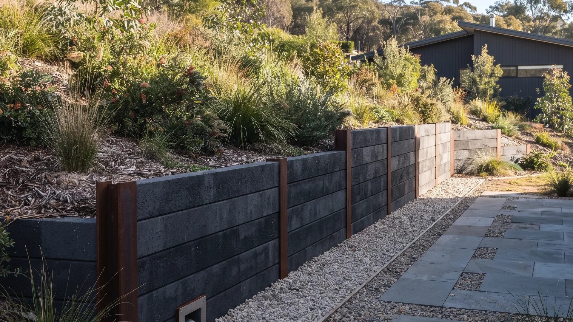
Grade. Water. Load. Access.
Before comparing wall systems, note the retained height, cut and fill, nearby loads, water paths, boundaries and the route from the street to the wall.
Height, cut and fill, loads, drainage, boundaries and access come before material selection.
Canberra projects are checked against both building-approval and development-approval pathways.
A useful enquiry records dimensions, symptoms, access, water paths and nearby structures.
Regulated work, certification and design belong with appropriately qualified professionals.
Start with geometry, loads, water and access; then compare systems that can answer those facts.
Read the section
Canberra blocks range from established inner-south gardens to recent Molonglo cut-and-fill sites. In both settings, a wall interacts with the land above it, any building or driveway load, the boundary, and water moving through or over the soil.
Take one wide photograph from each end, then record the maximum retained height and the broader change in ground level. Add close views of lean, cracking, decay, washout or persistent wetness only after the overall geometry is visible.
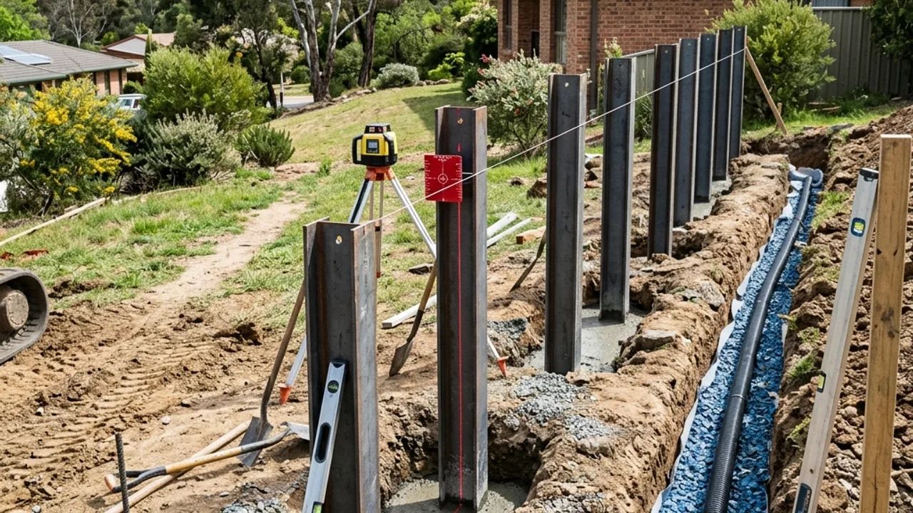
Canberra was built outward in waves, and each wave met the terrain differently. The inner south around Red Hill, Forrest and Griffith was laid out across established slopes, and its walls now sit inside gardens that have had eighty years to mature over them. The Weston Creek, Belconnen and Tuggeranong expansions cut house benches into hillsides below Oakey Hill, Cooleman Ridge and Mount Taylor. Gungahlin from the 1990s, then the Molonglo Valley suburbs after it, were formed by large-scale civil earthworks, so the levels on those blocks were inherited rather than chosen.
That history is why almost every enquiry falls into one of three shapes. The first is a wall built to hold a house bench forty or fifty years ago that has reached the end of its service life, where the question is whether the structure is tired or the ground has changed. The second is a sound wall overtaken by later landscaping: a redirected downpipe, new paving, a raised garden bed or an irrigation line now feeds more water into the retained soil than the original drainage was ever built to release. The third is a newer estate boundary where the wall is part of the subdivision earthworks and any change has to work around levels, easements and a neighbour's ground.
The local climate pushes on all three. Frosty winters, dry spells and short intense storm bursts mean retained ground here is repeatedly wetted and dried rather than held at a steady moisture. Walls fail slowly under that cycle, which is why a wall can look unchanged for years and then move noticeably in a single season.
Work from the ground outwards. Establish what is being retained and what sits on top of it, then how water reaches and leaves that zone, then what can physically get to the wall, then what the ACT approval pathway requires, and only then which system to build. Reversing that order is what produces a wall that is well made and wrong for the site.
Most of this you can record yourself in an afternoon with a tape, a phone and a walk around after rain. None of it makes you the engineer. It does mean the first person who looks at the wall is answering the real question rather than guessing at it, and it means two written responses can be compared on the same set of facts.
Site ledger
Use these six observations to describe a new Canberra retaining wall or replacement clearly before a provider inspects the property.
Record the maximum retained height first, then the wider cut-and-fill relationship it sits inside. One number taken at the tallest point rarely describes a sloping block.
Photograph whatever sits above the retained soil: driveways, sheds, buildings, pools, fences, mature trees and any second wall further up the slope.
Trace where water arrives and where it can lawfully leave. Downpipes, paved runoff, irrigation and the apparent low point matter as much as the structure.
Measure the narrowest gate, the tightest turn, step heights, overhead clearance and the carry distance from wherever a vehicle can legally stop.
Confirm the surveyed line rather than the fence. Note neighbouring ground levels, shared structures and anything already built across the boundary.
Treat building approval and development approval as two separate ACT questions. Clearing one exemption test does not clear the other.
Measurements and clearly noted unknowns give a provider a reliable starting point. A wet patch is evidence; its source is still an open question. Movement can be visible while the buried post or footing behind it stays unknown until something is opened up.
ACT building approval and development approval apply different tests. Record height, cut and fill, boundary position and nearby structures, then run each pathway on its own terms instead of assuming one result carries across to the other.
A written scope should name the system, the design roles and the excavation, then carry through to spoil, drainage, outlet work, inspections and restoration. Every provisional item should state the condition that would change the method or the programme.
Open a suburb ledger for local access, grade and water prompts; final advice remains property-specific.
Talk to a specialist
Turn observations into a clearer written wall enquiry
Share the details and we will help you take the next step with confidence.