
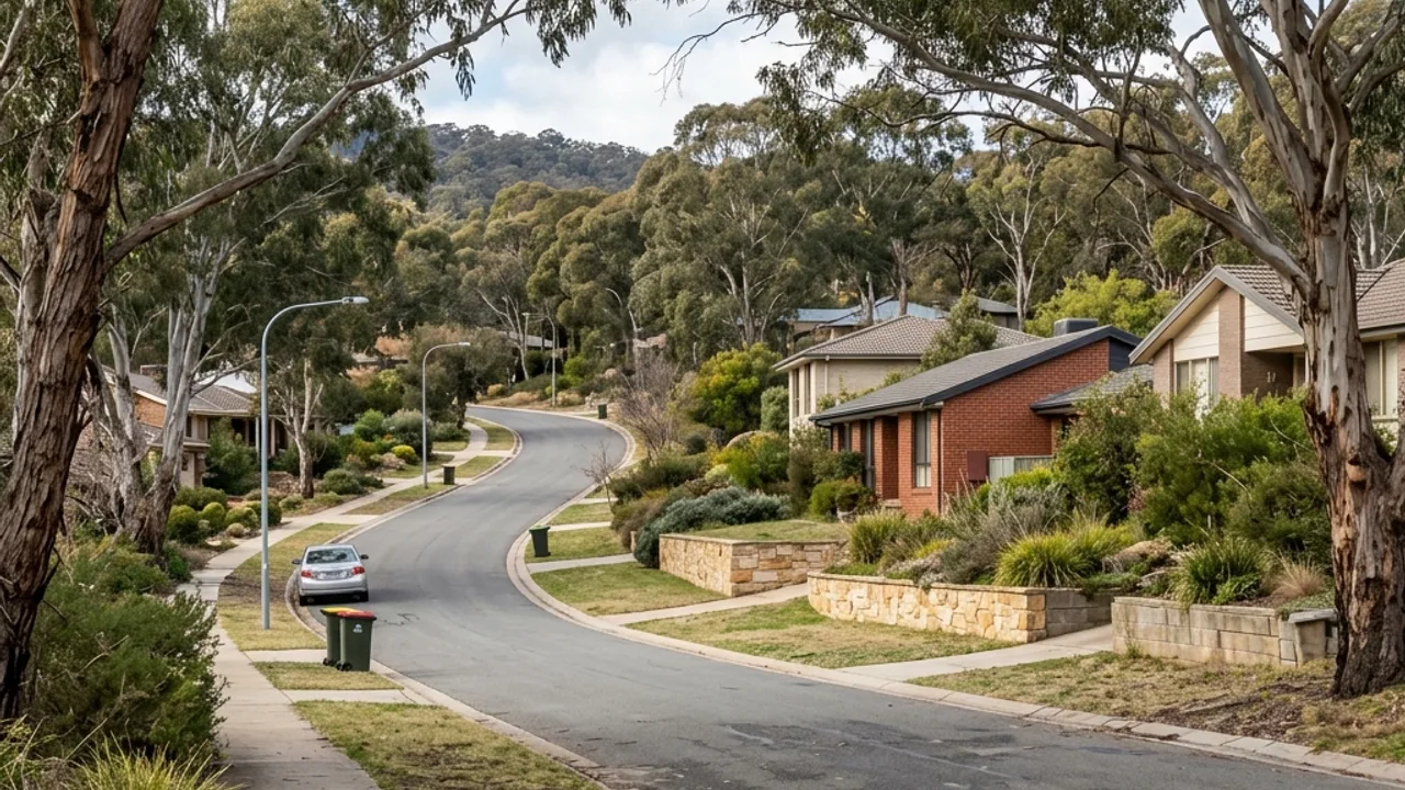
What the ground in Gungahlin tends to do
Gungahlin's estates were laid out and formed as planned developments, which means the levels on a block were largely created by civil earthworks rather than inherited from the natural ground. That is a useful thing to know: the cut and fill on your property was designed, documented and built by someone, and records of it may exist.
Density is the defining constraint. Smaller lots put boundaries, easements, services and buildings close together, and the working area around a proposed wall can be genuinely tight. A generous street frontage does not guarantee usable side access, and on these blocks it frequently does not deliver it.
Around Gungahlin Drive, Gundaroo Drive and Anthony Rolfe Avenue, obtain whatever plans are available before assuming anything about what is underground. Photograph visible pits and covers, and trace the complete route excavation equipment would take from the street to the work zone, including every gate and turn.
Access, water and boundaries here
Easements are the item most often discovered late. A wall proposed over or beside one changes from a straightforward job into a question about what may be built there at all, and that question is much cheaper to ask at the start. Where a wall sits under a fence beside closely spaced services, clearances need confirming rather than estimating.
Stormwater in a planned estate is generally engineered, which is an advantage if the wall connects into it correctly and a problem if the wall interrupts it. Establish where the property's existing drainage runs and where it discharges before designing a new collection line, because the lawful destination probably already exists.
Gungahlin's denser planned estates make boundaries, easements and small working zones prominent. Near Anthony Rolfe Avenue, a wall may sit under a fence beside closely spaced services or neighbour paving. Obtain available plans, photograph visible pits and show the complete route for excavation equipment before assuming the frontage guarantees usable side access.
Yerrabi Pond, Gungahlin Town Centre, Gungahlin Enclosed Oval locate the wider area, and Franklin, Harrison, Ngunnawal adjoin it. None of that substitutes for measurements taken on your own block.